
Mountains in the Adrar regions, desert scenes continue to define the Mauritanian Landscape


Mauritania is world's 29th largest country (after Bolivia) it is comparable to size in Egypt.Mauritania is generally flat forming vast and plains broken by occasional ridges and clifflike outcropings. face south west, longitudinally bisecting these plains in the in the center of the country. The scarps also separate a series of sandstone plateaus, the highest of which is the Adrar Plateau.. Spring-fed oases lie at the foot of some of the scarps. Isolated peaks , often rich in minerals, rise above the plateaus, the smaller peaks are called guelbs, and the larger ones kedias.The concentric Guelb or Richat is a prominent feature of the north central region.
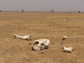
Approximately three quarters of Mauritania is desert or semidesert. As a result of extended,severe drought, the desert has been expanding since the mid-1960s. To the west between the ocean and the plateaus are alternating areas of clayey plains and sand dunes, some of which shift from place to place, gradually moved by high winds. The dunes generally increased in size and and mobility toward the north-west mauritania.