
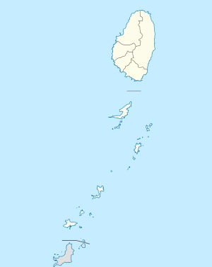
The island of Saint Vincent is volcanic and includes little level ground. The windward side of the island is very rocky and steep, while the leeward side has more sandy beaches and bays. The country's highest peak is La Soufrière volcano at 1,234 m (4,049 ft).
Administrative divisions
SAINT VINCENT AND THE
GRENADINES
|
Administratively, Saint Vincent and the Grenadines is divided into six parishes. Five parishes are on Saint Vincent, while the sixth is made up of the Grenadine islands. Kingstown is located in the Parish of Saint George and is the capital city and central administrative centre of the country.